-
CHIRPS Daily: Climate Hazards Center InfraRed Precipitation With Station Data(バージョン 2.0 最終版)

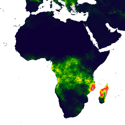
Climate Hazards Center InfraRed Precipitation with Station data(CHIRPS)は、30 年以上の準グローバル降雨量データセットです。CHIRPS は、0.05° の解像度の衛星画像と現地観測所のデータを組み合わせて、傾向分析と季節的な干ばつモニタリング用のグリッド化された降雨時系列を作成します。 chg climate geophysical precipitation ucsb weather -
CHIRPS Pentad: Climate Hazards Center InfraRed Precipitation With Station Data(バージョン 2.0 最終版)
Climate Hazards Center InfraRed Precipitation with Station data(CHIRPS)は、30 年以上の準グローバル降雨量データセットです。CHIRPS は、0.05° の解像度の衛星画像と現地観測所のデータを組み合わせて、傾向分析と季節的な干ばつモニタリング用のグリッド化された降雨時系列を作成します。 chg climate geophysical precipitation ucsb weather -
CHIRPS 降水量 5 日間: Climate Hazards Center InfraRed Precipitation With Station Data(バージョン 3.0)

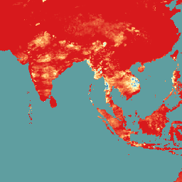
Climate Hazards Center Infrared Precipitation with Stations(CHIRPS v3)は、40 年以上にわたる高解像度の準グローバル降雨量データセットです。北緯 60 度から南緯 60 度までの全経度をカバーし、1981 年から現在までのデータを提供します。CHIRPS v3 は、衛星ベースの熱赤外線降雨量推定値と現地観測所の観測値を組み合わせたものです。 chg climate geophysical precipitation ucsb weather -
CHIRTS-daily: Climate Hazards Center InfraRed Temperature with Stations の日別気温データ プロダクト
Climate Hazards Center InfraRed Temperature with Stations の日次気温データ プロダクト(CHIRTS-daily; Verdin et al. 2020)は、準グローバルな高解像度グリッド データセット(0.05° × 0.05° の解像度、60°S - 70°N)で、日次最低気温(Tmin)と日次最高気温(Tmax)および 4 つの派生変数(飽和水蒸気圧、…)を提供します。 chg climate daily era5 geophysical reanalysis -
気候ハザード センター(CHC)結合モデル相互比較プロジェクト フェーズ 6(CHC-CMIP6)
CHC-CMIP6 は、過去から近い将来にかけての気候関連のハザードの分析をサポートするために明示的に開発されました。この気候予測データセットには、観測期間(1983 ~ 2016 年)と予測期間(2030 年と 2050 年)の全球の日単位のグリッド データが含まれており、特定と … climate geophysical precipitation ucsb weather
Datasets tagged ucsb in Earth Engine
[null,null,[],[],["CHIRPS provides a 30+ year quasi-global rainfall dataset by combining 0.05° resolution satellite imagery with in-situ station data. It creates gridded rainfall time series for trend analysis and drought monitoring. CHIRTS-daily offers a quasi-global, high-resolution (0.05°) gridded dataset with daily minimum and maximum 2-meter temperatures (Tmin, Tmax), spanning 60°S to 70°N, along with four derived variables.\n"]]