National Ecological Observatory Network
Stay organized with collections
Save and categorize content based on your preferences.
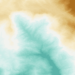
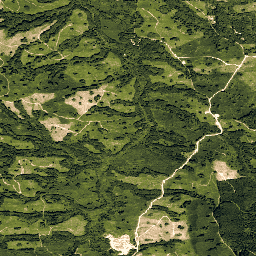
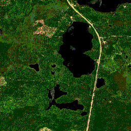
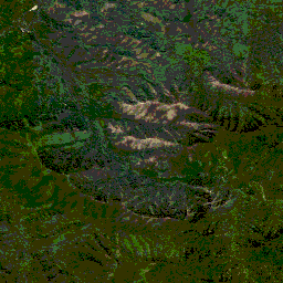
[null,null,[],[[["\u003cp\u003eThe National Ecological Observatory Network (NEON) provides open access ecological data, including airborne remote sensing data, to track changes in U.S. ecosystems.\u003c/p\u003e\n"],["\u003cp\u003eNEON offers a variety of data products, such as canopy height models, digital elevation models, and surface reflectance data, derived from LiDAR and hyperspectral imaging.\u003c/p\u003e\n"],["\u003cp\u003eThese datasets are collected at 81 terrestrial and aquatic field sites across the United States and Puerto Rico, supporting ecological research and monitoring efforts.\u003c/p\u003e\n"],["\u003cp\u003eHigh-resolution RGB camera imagery with a spatial resolution of 0.1m is also available as part of the NEON dataset.\u003c/p\u003e\n"],["\u003cp\u003eAll NEON data is freely accessible and can be used to study a wide range of ecological processes and changes over time.\u003c/p\u003e\n"]]],["The National Ecological Observatory Network (NEON) collects ecological data, including airborne remote sensing data, across 81 U.S. and Puerto Rico field sites. Key data products include: Canopy Height Model (CHM) from LiDAR data; Digital Elevation Models (DEM) with surface and terrain information; and hyperspectral surface reflectance data with 426 bands. Additionally, NEON provides high-resolution Red-Green-Blue (RGB) camera imagery with a 0.1-meter spatial resolution.\n"],null,["# National Ecological Observatory Network\n\nThe U.S. National Science Foundation's National Ecological Observatory Network (NEON) is a continental-scale observation facility operated by Battelle and designed to collect long-term open access ecological data to better understand how U.S. ecosystems are changing. In addition to in situ data products, NEON provides repeat high-resolution airborne remote sensing data at 81 terrestrial and aquatic field sites throughout the United States and Puerto Rico for ecological research and monitoring. \n[](https://www.neonscience.org/data-collection/airborne-remote-sensing) \n-\n\n |---------------------------------------------------------------------------------------------------------------------------------------------------------------------------------------------------------------------------------------------------------------------------------------------|\n | [### NEON Canopy Height Model (CHM)](/earth-engine/datasets/catalog/projects_neon-prod-earthengine_assets_CHM_001) |\n | Height of the top of canopy above bare earth (Canopy Height Model; CHM). The CHM is derived from the NEON LiDAR point cloud and is generated by creating a continuous surface of canopy height estimates across the entire spatial domain of the LiDAR survey. The ... |\n | [airborne](/earth-engine/datasets/tags/airborne) [canopy](/earth-engine/datasets/tags/canopy) [forest](/earth-engine/datasets/tags/forest) [forest-biomass](/earth-engine/datasets/tags/forest-biomass) [lidar](/earth-engine/datasets/tags/lidar) [neon](/earth-engine/datasets/tags/neon) |\n\n-\n\n |-----------------------------------------------------------------------------------------------------------------------------------------------------------------------------------------------------------------------------------------------------------------------------------------------------------------------------------------|\n | [### NEON Digital Elevation Model (DEM)](/earth-engine/datasets/catalog/projects_neon-prod-earthengine_assets_DEM_001) |\n | Digital models of the surface (DSM) and terrain (DTM) derived from NEON LiDAR data. DSM: Surface features (topographic information with vegetation and man-made structures present). DTM: Bare earth elevation (topographic information with vegetation and man-made structures removed). Images are given in meters above mean sea ... |\n | [airborne](/earth-engine/datasets/tags/airborne) [dem](/earth-engine/datasets/tags/dem) [elevation-topography](/earth-engine/datasets/tags/elevation-topography) [forest](/earth-engine/datasets/tags/forest) [lidar](/earth-engine/datasets/tags/lidar) [neon](/earth-engine/datasets/tags/neon) |\n\n-\n\n |-------------------------------------------------------------------------------------------------------------------------------------------------------------------------------------------------------------------------------------------------------------------------------------------------------------------------|\n | [### NEON RGB Camera Imagery](/earth-engine/datasets/catalog/projects_neon-prod-earthengine_assets_RGB_001) |\n | High resolution Red-Green-Blue (RGB) orthorectified camera images mosaicked and output onto a fixed, uniform spatial grid using nearest-neighbor resampling; spatial resolution is 0.1 m. The digital camera is part of a suite of instruments on the NEON Airborne Observation Platform (AOP) that also includes a ... |\n | [airborne](/earth-engine/datasets/tags/airborne) [forest](/earth-engine/datasets/tags/forest) [highres](/earth-engine/datasets/tags/highres) [neon](/earth-engine/datasets/tags/neon) [neon-prod-earthengine](/earth-engine/datasets/tags/neon-prod-earthengine) [orthophoto](/earth-engine/datasets/tags/orthophoto) |\n\n-\n\n |-------------------------------------------------------------------------------------------------------------------------------------------------------------------------------------------------------------------------------------------------------------------------------------------------------------------------------------------------|\n | [### NEON Surface Bidirectional Reflectance](/earth-engine/datasets/catalog/projects_neon-prod-earthengine_assets_HSI_REFL_002) |\n | The NEON AOP Surface Bidirectional Reflectance is a hyperspectral VSWIR (visible to shortwave infrared) data product, containing 426 bands spanning wavelengths from \\~380 nm to 2510 nm. Reflectance is scaled by a factor of 10000. Wavelengths between 1340-1445 nm and 1790-1955 nm are set to ... |\n | [airborne](/earth-engine/datasets/tags/airborne) [forest](/earth-engine/datasets/tags/forest) [hyperspectral](/earth-engine/datasets/tags/hyperspectral) [neon](/earth-engine/datasets/tags/neon) [neon-prod-earthengine](/earth-engine/datasets/tags/neon-prod-earthengine) [publisher-dataset](/earth-engine/datasets/tags/publisher-dataset) |\n\n-\n\n |-------------------------------------------------------------------------------------------------------------------------------------------------------------------------------------------------------------------------------------------------------------------------------------------------------------------------------------------------|\n | [### NEON Surface Directional Reflectance](/earth-engine/datasets/catalog/projects_neon-prod-earthengine_assets_HSI_REFL_001) |\n | The NEON AOP Surface Directional Reflectance is a hyperspectral VSWIR (visible to shortwave infrared) data product, containing 426 bands spanning wavelengths from \\~380 nm to 2510 nm. Reflectance is scaled by a factor of 10000. Wavelengths between 1340-1445 nm and 1790-1955 nm are set to ... |\n | [airborne](/earth-engine/datasets/tags/airborne) [forest](/earth-engine/datasets/tags/forest) [hyperspectral](/earth-engine/datasets/tags/hyperspectral) [neon](/earth-engine/datasets/tags/neon) [neon-prod-earthengine](/earth-engine/datasets/tags/neon-prod-earthengine) [publisher-dataset](/earth-engine/datasets/tags/publisher-dataset) |"]]