-
OpenET DisALEXI 月間蒸発散量 v2.0
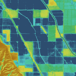
大気-陸地交換逆問題 / 大気-陸地交換逆問題の分解(ALEXI/DisALEXI)DisALEXI は最近、OpenET フレームワークの一部として Google Earth Engine に移植されました。ベースラインの ALEXI/DisALEXI モデル構造は、Anderson ら(2012 年、2018 年)によって説明されています。ALEXI 蒸発散量(ET)モデルは、特に… 蒸発散量 gridmet 派生 landsat 派生 月次 openet 水 -
OpenET アンサンブル月間蒸発散量 v2.0
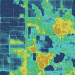
OpenET データセットには、蒸発散(ET)のプロセスを通じて地表から大気に移動する水の総量に関する衛星ベースのデータが含まれています。OpenET は、複数の衛星駆動モデルから ET データを提供し、… から単一の「アンサンブル値」も計算します。 蒸発散量 gridmet 派生 landsat 派生 月次 openet 水 -
OpenET PT-JPL 月間蒸発散量 v2.0
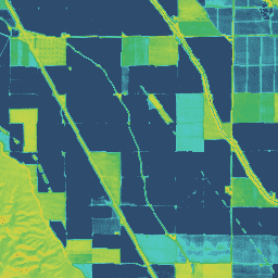
Priestley-Taylor Jet Propulsion Laboratory(PT-JPL)OpenET フレームワーク内の PT-JPL モデルのコア式は、Fisher ら(2008 年)で詳述されている元の式から変更されていません。ただし、PT-JPL のモデル入力と時間統合の強化と更新は、… 蒸発散量 gridmet 派生 landsat 派生 月次 openet 水 -
OpenET SIMS 月間蒸発散量 v2.0
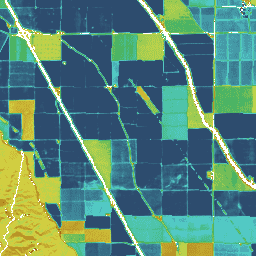
衛星灌漑管理サポート NASA 衛星灌漑管理サポート(SIMS)モデルは、もともと灌漑地の作物係数と蒸発散量(ET)の衛星マッピングをサポートし、このデータへのアクセスを増やして、灌漑スケジューリングと地域の評価での使用をサポートするために開発されました。 蒸発散量 gridmet 派生 landsat 派生 月次 openet 水 -
OpenET SSEBop 月間蒸発散量 v2.0

Operational Simplified Surface Energy Balance(SSEBop)Senay ら(2013 年、2017 年)による Operational Simplified Surface Energy Balance(SSEBop)モデルは、衛星乾湿計の原理(Senay 2018)に基づいて実際の ET を推定するための熱ベースの簡略化された地表面エネルギー モデルです。OpenET SSEBop 実装では、… を使用します。 蒸発散量 gridmet 派生 landsat 派生 月次 openet 水 -
OpenET eeMETRIC 月間蒸発散量 v2.0

Google Earth Engine での Mapping Evapotranspiration at high Resolution with Internalized Calibration モデル(eeMETRIC)の実装。eeMETRIC は、Allen ら(2007 年、2015 年)と Allen ら(2013b 年)の高度な METRIC アルゴリズムとプロセスを適用します。このアルゴリズムとプロセスでは、地表付近の気温と… 蒸発散量 gridmet 派生 landsat 派生 月次 openet 水 -
OpenET geeSEBAL 月間蒸発散量 v2.0
geeSEBAL の実装は OpenET フレームワーク内で最近完了しました。現在の geeSEBAL バージョンの概要については、Bastiaanssen ら(1998 年)が開発した元のアルゴリズムに基づく Laipelt ら(2021 年)を参照してください。OpenET geeSEBAL 実装では、土地の… 蒸発散量 gridmet 派生 landsat 派生 月次 openet 水
Datasets tagged openet in Earth Engine
[null,null,[],[],[]]