-
Global Map of Oil Palm Plantations

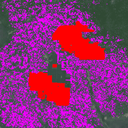
The dataset is a 10m global industrial and smallholder oil palm map for 2019. It covers areas where oil palm plantations were detected. The classified images are the output of a convolutional neural network based on Sentinel-1 and Sentinel-2 half-year composites. See article for additional … biodiversity conservation crop global landuse oilpalm -
Oil Palm Plantation Probability v20240312

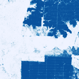
This image collection provides per-pixel probability that the underlying area is in oil palm cultivation. These probability estimates are provided at 10 meter resolution, and have been generated by a machine learning model. Labeled examples of oil palm plantations were supplied by community contributors to … biodiversity conservation crop deforestation eudr landuse
[null,null,[],[[["The datasets provide maps of oil palm plantations, including one with global coverage at 10m resolution for 2019 and another with per-pixel probability of oil palm cultivation at 10m resolution."],["The 2019 global map distinguishes between industrial and smallholder plantations and was created using a convolutional neural network with Sentinel-1 and Sentinel-2 data."],["The probability-based dataset utilizes a machine learning model trained on community-contributed examples of oil palm plantations."],["Both datasets are valuable for biodiversity conservation, deforestation monitoring, and land use planning, particularly concerning the environmental impact of oil palm cultivation."]]],[]]