Earth Engine 推出了
非商业配额层级,以保护共享计算资源并确保为所有人提供可靠的性能。非商业项目默认使用 Community
层级,但您可以随时更改项目的层级。
 Google uses AI technology to translate content into your preferred language. AI translations can contain errors.
对象和方法概览
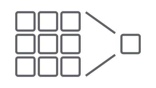
使用集合让一切井井有条
根据您的偏好保存内容并对其进行分类。
Earth Engine API 由对象和方法组成。对象表示光栅图片、矢量地图项、数字和字符串等数据类型。这些对象各自属于特定类,并且每个类都有一组严格的函数可供使用。
对象和方法会在工作流脚本中组合,并发送到 Earth Engine 服务器进行处理。点击以下卡片查看示例流程,了解常见的对象类及其方法。
如需查看 Earth Engine 类及其方法的完整列表,请参阅 API 参考指南的客户端库部分(例如 ee.Image.add)。您也可以在 JavaScript 代码编辑器的 Docs 标签页下找到相同的参考信息。
常见的 Earth Engine 对象类
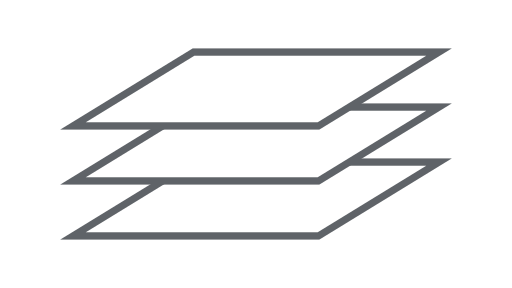
图片
Earth Engine 中的基本光栅数据类型。
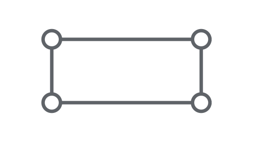
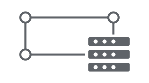
几何图形
Earth Engine 中的基本矢量数据类型。
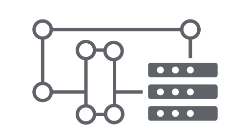
加入
根据时间、位置或属性属性组合数据集(图片集或地图项集)。
如未另行说明,那么本页面中的内容已根据知识共享署名 4.0 许可获得了许可,并且代码示例已根据 Apache 2.0 许可获得了许可。有关详情,请参阅 Google 开发者网站政策。Java 是 Oracle 和/或其关联公司的注册商标。
最后更新时间 (UTC):2025-07-25。
[null,null,["最后更新时间 (UTC):2025-07-25。"],[],["The Earth Engine API uses objects (raster images, vector features, numbers, strings) and methods within workflow scripts sent for server processing. Each object belongs to a class with specific functions. Key classes include Image, ImageCollection, Geometry, Feature, FeatureCollection, Reducer, Join, Array, and Chart. These classes represent data types, data sets, and tools for analysis. The API Reference Guide and the Code Editor Docs contain complete class and method information.\n"]]