Page Summary
-
This document helps determine if an asset is missing in the Earth Engine Data Catalog for Landsat, Sentinel, and MODIS.
-
It provides steps to check for available assets in Earth Engine and provider catalogs and collect information for reporting missing assets.
-
Factors like processing level, spatiotemporal coverage, and provider choice can affect data availability.
-
Specific steps are outlined for checking missing data and reporting them for Landsat, Sentinel, and MODIS datasets, including links to relevant catalogs and resources.
The purpose of this document is to help you determine if an asset is missing in the Earth Engine Data Catalog (currently Landsat, Sentinel, and MODIS).
The steps outlined describe how to:
Check for available assets in Earth Engine's and providers’ catalogs.
Collect information needed to submit confirmation of a missing asset to the Earth Engine data team.
Common things to consider
Processing level: not all images may be available for a given processing level or product. For instance, low-quality images may not be processed to the highest level.
Spatiotemporal coverage: a regular cadence is not guaranteed for each dataset. Variation in sensor tasking, image quality, and archive management can affect provider data availability.
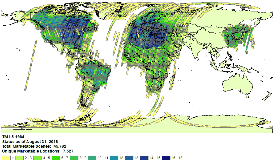 Example of Landsat 5
collection coverage for
1984.
Example of Landsat 5
collection coverage for
1984.
- Provider choice: data are ingested into the Earth Engine Data Catalog from a selected provider per dataset. It is possible that the provider does not offer a complete mission archive. For example, Landsat datasets are ingested from the USGS archive, which is known to be missing imagery from certain receiving stations for certain periods of time (see the LGAC effort for more information).
Landsat
Landsat data are ingested from the U.S. Geological Survey (USGS).
Confirm Landsat coverage availability for the time and area of interest.
Perform a search in Earth Engine to get a list of all assets for the time and area of interest. Take care to ensure no assets have been accidentally filtered out within your code. Here is an example script; be sure you are importing the collection with the right tier and processing level (learn more about the Landsat collection structure).
Look for potentially missing assets in the USGS Earth Explorer catalog (see the help guide for detailed steps on performing a search and selecting datasets). Make sure you are comparing the right products and processing levels (see Landsat collection structure). Note that surface reflectance products are only generated for Landsat images with processing level L1TP.
Share detailed evidence of missing assets by submitting a ticket with the provider's product ID and a link to an Earth Engine Code Editor script confirming the absence of the assets.
Sentinel
Sentinel data are ingested from the Copernicus Dataspace site.
Confirm Sentinel coverage availability for the time and area of interest (see mission details).
Note: Sentinel-2 Level-2A products are systematically generated at the ground segment over Europe only since March 2018, and the production was extended to global in December 2018 (see ESA User Guide for more details). They will eventually be regenerated as a part of Collection 1.
Perform a search in Earth Engine to get a list of all assets for the time and area of interest. Take care to ensure no assets have been accidentally filtered out within your code. Here is an example script; be sure you are importing the collection with the right processing level.
Look for potentially missing assets in the Copernicus catalog.
Share detailed evidence of missing assets by submitting a ticket with the provider's product ID and a link to an Earth Engine Code Editor script confirming the absence of the assets.
MODIS
MODIS data are ingested from the Land Processes Distributed Active Archive Center (LP DAAC).
Perform a search in Earth Engine to get a list of all assets for the time and area of interest. Take care to ensure no assets have been accidentally filtered out within your code. Here is an example script; be sure you are importing the intended product.
Look for potentially missing assets in the USGS Data Pool that have not been added to Earth Engine. Navigate to the appropriate folder and identify the latest directories available.
Datasets starting with "MOD" are in "Terra MODIS"
Datasets starting with "MYD" are in "Aqua MODIS"
Datasets starting with "MCD" are in "Combined MODIS"
Datasets starting with "VNP" are in "S-NPP VIIRS"
Share detailed evidence of missing assets by submitting a ticket with the provider's product ID and a link to an Earth Engine Code Editor script confirming the absence of the assets.